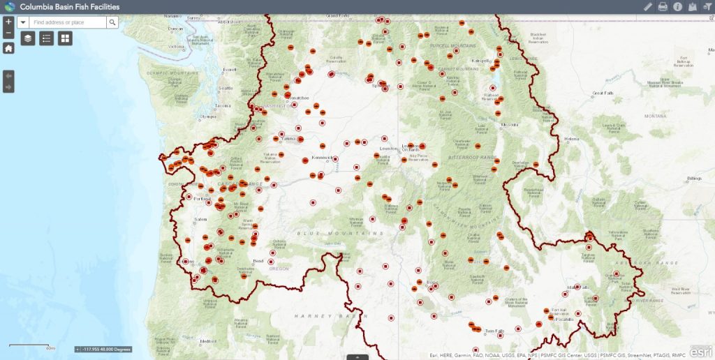
This mapper displays a dataset of the locations of facilities used for fisheries management or passage within the Columbia River basin. These locations include where fish are managed, counted, or passed and generally connects to data records in a Pacific States Marine Fisheries Commission (PSMFC) database. Sources for these point data came primarily from programs within PSMFC, including StreamNet, PIT Tag Information System (PTAGIS), and the Regional Mark Processing Center (RMPC), and their various state and federal partners. Locations have been checked and in some cases modified to more closely match available imagery or regional hydrography, as appropriate.
Basic types of fish facilities currently include the following: hatcheries (acclimation/release sites); dams (categorized further for display purposes, including decommissioned/removed dams); fish traps and collection facilities (including screw traps, weir traps, etc.); fish passage facilities (including fish ladders and juvenile fish bypasses); and a subset of PTAGIS instream remote detection facilities.
This mapper is maintained by the PSMFC GIS Center. The data represented in this application vary in age, accuracy, scale, completeness, and extent of coverage, and have been contributed from various sources. We highly recommend reviewing available metadata prior to interpreting these data, including the GIS layers metadata.